If you are at all afraid of heights, this is not the trip for you. The Aiguille du Midi is a tram/gondola ride to the very top of one of the aiguilles that are prominent in the mountains above Chamonix. Aiguille translates as needle and that is appropriate because many of the peaks around Mt. Blanc are sharp and pointy looking.
Villains lair for the next Bond film?…No! It’s the Aiguille du Midi!
For the majority of climbers, the Midi is the jumping off point for climbing Mt. Blanc and the other peaks nearby.
Who wants to go through the icee tunnel first!?
The picture above is where you put on your crampons and start the descent to the glacier below before beginning the traverse across said glacier and then starting the climb to Mt. Blanc. I don’t know the distance of the climb, but since Mt. Blanc is 15,780 feet high, I do know you have about 4,000 vertical feet to ascend from where you start on the glacier. And that doesn’t include the mountain you have to climb over before you even get to the actual Mt. Blanc climb.
Towards the bottom left of picture see zigzag with people climbing. Mt. Blanc is the big peak in the background.Zoom in and look bottom right just next to the rock to see a person traversing the glacier.
M, Nancy, Sarah and I were amazed by the views and the magnitude of the many peaks around us. We were also amazed at the people who could not wait to get out of the gondola so they could smoke a cigarette at over 12,000 feet. There were people who got off the gondola, stood around smoking and not looking at anything, and then got back on the gondola to go down.
M took her fear of heights training to new levels (get it?). Fortunately the platform you initially get off the gondola onto is made of wood and you cannot see through it. It is about 25 feet wide with serious drops on either side. M tended to stay in the middle of the platform and was unable to go up the scary metal grate stairs leading to higher levels. I can not blame her as I had a bit of uneasiness myself when ascending those stairs. It is an odd sensation being so high in the air with only a 2 inch deep metal grate between you and death.
If you zoom in you can see M in the middle of the platform below.
I was very proud of M for being willing to do something that was quite scary. The trip down on the gondola was even better as she kept her eyes open the whole way! Part of that was due to the fact that I pointed out to her that at 5’2” she was one of the tallest people on the gondola! It was a strange occurrence, but it’s true. The gondola was filled with a big group of Asians and one lady from New Jersey who were all significantly under 5 feet tall. They were not “little people”; they were all just extremely small. It was such a rare thing that M was distracted most of the way down thinking about being tall for once. There is also the fact that I was making “whoooaaa” sounds at random times.
Apparently a lot of the people on the gondola had never been on one before and were unfamiliar with the up and down motion that happens when the gondola reaches any of the towers to which it is attached. Therefore, whenever we would experience that brief swaying of the gondola, many people on board would in unison, say, “ whooooaaa”. Since I thought this was strange, I decided to start saying “whoooaaa,” at random times to see what would happen. As is often the case when I think something is funny, I was the only one laughing.
We had a great day on the Aiguille du Midi and I would highly recommend the trip to anyone who visits the Chamonix area. I will leave you with some more pictures. Oh one more thing! If you read the word Aiguille and pronounce it, “ah-gwilley,” people in the know will laugh at you or look at you funny. It is properly pronounced, “ah-ghee”. Because it’s French.
Looking East towards Italy and Switzerland.Bring a jacket. It was only 30 degrees at the top.Told you there were lots of needles. Looking North.Looking about 8,000 feet down to the valley and Chamonix.
I know at least one person who reads this blog has been eagerly awaiting this post. I hope he enjoys it. For those of you not eagerly awaiting this post, I hope you enjoy it anyway.
Last Monday, crew chief Sarah Baker and newly hired assistant crew chief Nancy Baker, arrived in Argentiére. The crew doesn’t get paid much, but they sure work hard. M and I had been looking forward to familiar faces and were glad they came all the way to France to visit.
Last week was also a taper week for M and I so we could be fresh for our race this past Saturday in Italy. The race is called The Grand Trail Courmayeur and it is 105 kilometers long. For our American audience, that came out to about 65 miles. To answer the next question, yes that is to be run all in one day.
M and I knew the race would be our toughest challenge yet, but we felt well prepared after training for a month here in Chamonix. At just after 7 am Saturday we set off from Courmayeur in hopes of being back sometime before 7 am Sunday. The race cutoff time was 1 pm Sunday so we had plenty of time, but we both were planning on beating the 24 hour mark.
Mountain ultra races in the Alps are known for their climbing and this race was no exception. I am certain that there is a secret competition amongst race organizers trying to see who can make the most ridiculously difficult course. The race began with a 3 mile descent to the bottom of the first climb. M and I had broken the race down into sections that went from aid station to aid station in order to make the race seem more manageable. The first aid station was supposed to be around the 8 mile mark at the midway point of the first climb. We should have remembered that like all other races, there is usually some wiggle room as far as where the aid stations are actually located. The first aid station was at mile 9.5 and after climbing for 2 hours, I was ready to refuel.
Taken during the race, not sure of location.
The climbing continued until the next aid station at about mile 15. This section is where we began more serious climbing. There were quite a few boulder fields to cross and some snowy steps that had been hacked into the side of a cliff where we used a rope to ascend through a crevice in the mountain. Eventually we descended into the town of La Thuile and another aid station, or in Italian, ristorio. Of course descending really only means its time for the next section of climbing and so began the next climb. The climb up to Baite de Youlaz aid station was actually one of the easiest climbs of the day with only a few boulder sections and a larger than normal portion of narrow paved mountain road. This was only an appetizer for the next part of the second major climb of the race. Miles 24-32 were the longest and hardest miles I have ever done. By this point in the race, there had begun a torrential downpour and the temperature dropped considerably. Pants, jackets, gloves and hats were all required for the race and I was thankful because I needed all of them. I ran out of water about mile 28. This normally would not be a big deal with only 3.5 miles or so to go to the next aid station, but when there are mountains and lots of technical climbing in between you and that aid station, it becomes quite an ordeal.
I was at such a low point that each time I would come around a corner or over a saddle hoping to see the aid station, and all I saw was more mountains to climb, I just had to laugh.
Keep going, it’s just over that next ridge…
I learned all about staying calm and not panicking during this point of the race. The reality is that there is nothing you can do except keep going and trying to use as little energy as possible til the next aid station.
Would have been nice to take this trail down…But no, we got to go along the scary ridge instead!
When your best speed is about 30-45 minutes per mile, 3 miles takes a long time. After what seemed like forever I spotted the aid station off in the distance. Along the way there was the prettiest blue lake I’ve ever seen.
Picture does not show actual color, it was much better.
I finally made it to the aid station located on a saddle in the coldest and windiest spot they could have found. I refueled and put on more clothes and got going down as fast as I could. I was glad the trail down was only really steep and rocky because otherwise it would have been difficult.
We actually did get to go down this trail, finally.What happens when you try to take a picture while going downhill.The little red flags were our markers to follow all day.
The next ristorio was at the Refugio Elisabetta, which M and I had stopped at 2 years ago during our trip around Mt. Blanc. It was quite nice to be on a familiar part of the trail. It was also nice because most of this part of the trail was either downhill or flat.
By this point in the race, my body and mind had rallied back into form and I was looking forward to the next climb up to the Maison Vielle aid station. This part of the course was also familiar so I knew what to expect on the next climb. I knew it was not too long and not at all technical and thus allows for a steady pace. Unfortunately this is where my calf decided it had had enough racing and would not allow me to push off going uphill or plantar flex going downhill. Even though I was having my best race ever, I knew it was over at that point. There was no point in continuing to race when I couldn’t run at all. There was also no point in ruining the rest of my summer by injuring myself beyond repair.
I was told at the aid station that I would have to walk down to Dalonne so I decided to drop out of the race at the Dalonne checkpoint. I also wanted to make it to Dalonne because that would be the furthest I had ever raced at 48 miles.
That particular aid station was the biggest of them all, with hot food and the ability of picking up a drop bag that had been placed there earlier. It was also where our crew could meet us and help out a little bit with resupplying for the last section of the course.
Earlier in the evening, M had blazed through this aid station and was greatly helped along by Sarah and Nancy. They helped M refill her bottles and change into dry clothes and be on her way. I showed up about an hour after M left and the crew supported my decision to drop. They also carried all my stuff back up the hill to our apartment, walking slowly the whole way so I wouldn’t have to walk alone in the dark.
Nancy made me a sandwich and Sarah kept a sharp eye on M’s tracker so we would know when to go back to Courmayeur and see M finish. We all tried to sleep a little, but I mostly just tried to relax and eat after such a long effort.
Sarah, Nancy and I got up at 3:30 am and made our way back down to the finish area in order to greet M and cheer her at the finish. A little over 22 hours after starting, M came down the finishing chute to the roars of all 3 of her supporters. It was M’s best ever race and she finished second in her age group and fourth overall among women. The last part of the course had been utterly diabolical with the shortest but steepest climb, and one of the more technical downhills of the entire race.
M conquered her fear of heights and conquered the hardest race she’s ever done. It was a remarkable feat, and we were all very proud and humbled by her performance.
Blurry because she was moving so fast!Yea! Finally done!
We decided that Pizzeria De Moulins back in Chamonix was calling our name, so we left Courmayeur a day earlier than planned. We made it back to Argentiére with no problems and then proceeded back to Chamonix and killed off quite a bit of pizza.
M and I are now in recovery mode which basically means we eat all the time. Fortunately we have temporarily moved to Zermatt, Switzerland where there is no shortage of yummy food to keep us full.
I hope to have another blog with pictures from our trip up the Auguille du Midi soon. You will certainly see many pictures of Mt. Blanc!
Ok it’s only really exciting for me. When we are at home, I have plenty of access to gluten free pizza. Either from the store or when M decides to make homemade pizza. Gluten free pizza has not made it to the stores here in the Chamonix valley and finding the proper dough for making homemade pizza hasn’t yet been accomplished. From all this, you might gather that this is an important slice of my life. Pizza de Moulins to the rescue!
It turns out that right in downtown Chamonix is a pizza place owned and operated by Italians, and they serve gluten free pizza! Fortunately, like a lot of other food here in France, it also happens to be relatively cheap. M and I both had our own pizzas and it was less than 30 Euros total. Plus there is no tipping! Pizza de Moulins is a huge deal for us because now there is somewhere we can eat out if we want and where I can almost be satiated.
Yesterday was Saturday so we did our usual long run. We followed the last 6 miles or so of the Mont Blanc Marathon and then added Col du Brevent to get to our turn around point.
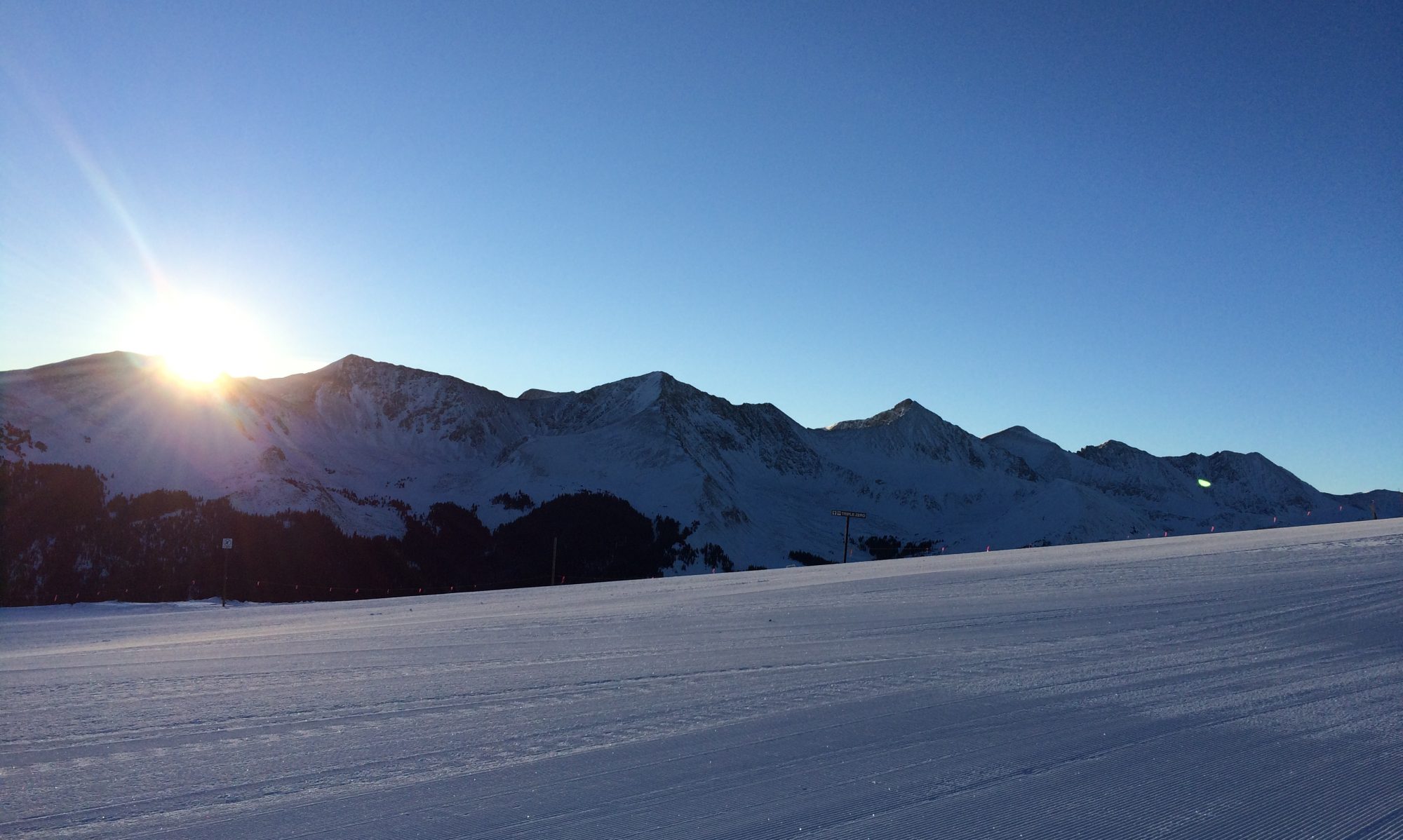
As usual Mt. Blanc did not disappoint along the way.
Fortunately there were no scary cables to cross, but there is one section with some handrails to hang on to so you do not fall down the scary stairs. As is becoming the norm, most of the hikers we saw were either American, British or Aussie,with a few Canadians and French in the mix as well.
We made it up the steep climb to the Col and were greeted by a guy who was not very talkative, but he did stand still for a few pictures.
Col du Brevent official greeter.Looking east from the Col.It was cold at the Col!
We made it down off the Col and safely back home in time to eat lots of food and watch the day’s carnage on the first stage of the Tour de France. The tour comes fairly close to us this year, but it would be difficult to get to the stage without a car.
Sundays are generally shorter runs for us and we try to choose routes that are interesting, or easier or new to us. Today’s route took us up to a place called Le Peclery. I had been part of the way up the trail a few days ago but had not gone far enough to get to the top or do the loop we planned for today. I had told M that the part of the trail that I had been on was very smooth and not technical at all. My information was correct as far as it went. We found out today that the trail got a fair bit steeper after my turn around point. It also had a gnarly descent down the other side where a 30-40 minute mile was pretty fast! Nothing could have prepared us for the middle section though. We have seen some amazing places since we’ve been here, but Le Peclery might be the prettiest. The pictures will not come close to representing the beauty of the area. The entire top of the climb was shrouded in pink flowers interspersed among the boulders and rocks. We were in awe and had to keep stopping for pictures. We were also the only people there. We haven’t heard anyone talk about the area so we feel like we’ve found a special place.
One of the Aiguilles.Pink flowers everywhere.No Hobbits were home at Le Peclery.Glacier!Looking towards Switzerland surrounded by flowers.
After taking many pictures we finally made it to the descent. We were not happy that it took us almost as long to get down as it did to get up. Take three steps, switchback, another three steps, another switchback. As usual we felt like the village of Le Tour which we could see below, kept getting lower down the mountain instead of closer. M let out a cheer when we finally got back to the main trail. The descent could not ruin what we had seen though, and we look forward to seeing Le Peclery again.
I had high hopes of having pictures to support my title reference to Will Smith’s song, “Summertime” but all the cars have been moving and not posing for pictures. Since M and I have been here in Europe we have seen more supercars in less than a month than we’d previously seen in our lives. For those that are not familiar with the term, “supercars” generally refers to cars that are really fast, very expensive, and somewhat uncommon. Within the first two weeks of being here we saw a Ferrari club rally and therefore had many Ferraris driving past the apartment for a couple of hours. This got kind of old as I had to keep jumping up off the couch every time I heard a V8 or V12 engine revving as they went by the apartment.
In the last 3 days we have seen 2 Mclaren 720s’s which is currently the fastest car you can buy for less than a million bucks. Throw in all the Porsches and one Lamborghini Aventador, and as M said, “These things are a dime a dozen around here.” Needless to say, for a car person like myself it has been exciting.
Now back to the real world of running in Cham. On Saturday, M and I had another big run. We followed the same beginning as last weekend, but this time we went a different direction once we reached Vallorcine.
Vallorcine as seen from slightly above.
M had gotten the information for the new part of this run from the Chamonix trail running group website. To say their description of the run was understated would be a disservice to the word. The website did not mention that part of the run was literally straight up the side of a mountain with mostly climbing up and over rocks.
Seriously, that is the trail going straight up!
The site did have a brief mention of chains and cables, but it did not say that the first part of the traverse across the mountain was all chains and cables and railings attached to the side of cliff faces.
M being fearless!Yeah, it just kept going like that for a while.
We were rewarded with some cool views of the Emossons Dam and the lake behind it once we made it to the top.
Really wanted to get in!Dam view from the trail.Yes there is a road that goes all the way up to the dam.
After traversing for a while and seemingly going nowhere, as usual I began to believe that the Loriaz refuge was constantly moving away from us. We had some great views along the way and did eventually find the refuge where we could start descending back towards home.
Good place for a breather.
A little over 8 hours after leaving home, we returned. It was quite the training day and served our purpose for adapting to long days in the mountains.


You must be logged in to post a comment.